Localisation
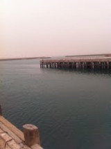
Bandar dailam
| Latitude | Longitude |
| DMS | --- | --- |
| DM | --- | --- |
| DD | --- | --- |
Description
Ebook | Persian Gulf - Arabian Gulf- 62 sites
- 71 photos
- publication date: 8 Aug 2024
- .pdf file size: 37 Mb
|
Share your comments or photos on "Bandar dailam"
Sites around Bandar dailam
Flying distances - Direct line
Umm Qasr
Port .27 Mar 12
tatyfava@yahoo.com
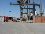
Al Jubayl
Small port protected by a breakwater.